Travel Guide of Emu Plains in Australia by Influencers and Travelers
Emu Plains is a suburb of Sydney in the state of New South Wales, Australia. It is 58 kilometres west of the Sydney central business district, in the local government area of the City of Penrith and is part of the Greater Western Sydney region.
Download the Travel Map of Australia on Google Maps here
The Best Things to Do and Visit in Emu Plains
TRAVELERS TOP 10 :
- Victoria Bridge
- Blue Mountains National Park
- Racing | Sydney Motorsport Park
- Blue Mountains
- Wentworth Falls
- Leura
- Cherrybrook
- Sydney Olympic Park
- Gladesville NSW
- Gladesville Bridge
1 - Victoria Bridge
The Victoria Bridge (Penrith), also known as the Victoria Bridge over Nepean River and officially known as The Nepean Bridge, is a heritage-listed former railway bridge and now wrought iron box plate girder road bridge across the Nepean River on the Great Western Highway in the western Sydney suburb of Penrith in the City of Penrith local government area of New South Wales, Australia.
Learn more Book this experience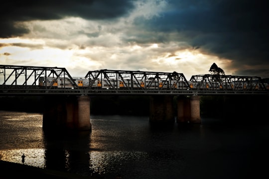

2 - Blue Mountains National Park
24 km away
The Blue Mountains National Park is a protected national park that is located in the Blue Mountains region of New South Wales, in eastern Australia.
Learn more Book this experience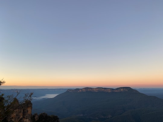
3 - Racing | Sydney Motorsport Park
18 km away
Ride in a V8 race car and join a professional racing driver for three high-speed laps around the track. Put on full racing attire before taking the passenger seat for an exciting experience.
Book this experience
4 - Blue Mountains
24 km away
The Blue Mountains are a mountainous region and a mountain range located in New South Wales, Australia. The region borders on Sydney's metropolitan area, its foothills starting about 50 kilometres west of centre of the state capital, close to Penrith on the outskirts of Greater Sydney region.
Learn more Book this experience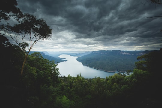

5 - Wentworth Falls
29 km away
Wentworth Falls is a town in the Blue Mountains region of New South Wales, situated approximately 100 kilometres west of the Sydney central business district, and about 8 kilometres east of Katoomba, Australia on the Great Western Highway, with a Wentworth Falls railway station on the Main Western line.
Learn more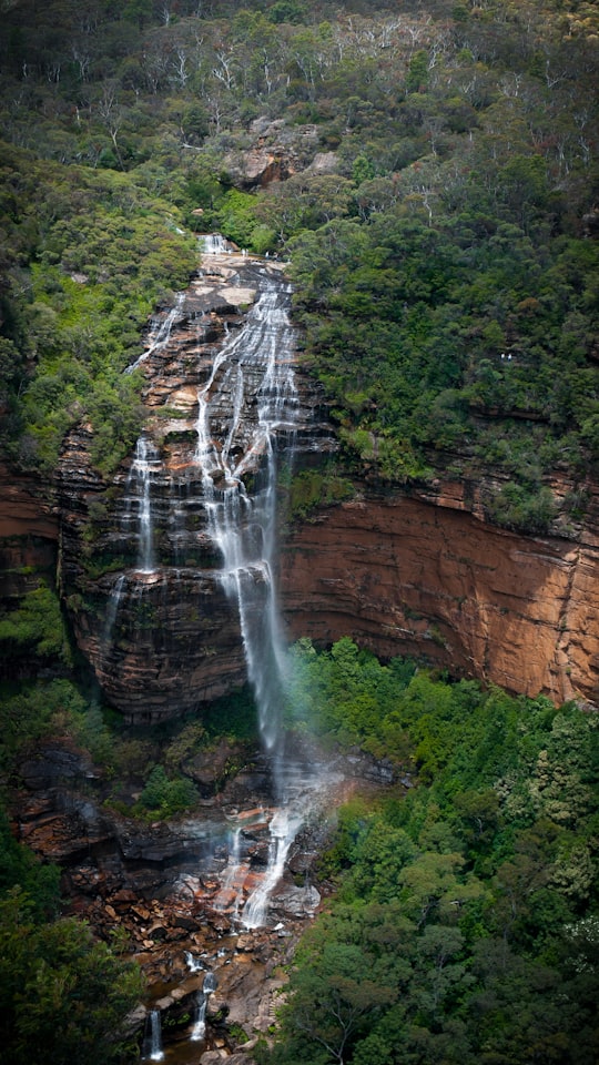
6 - Leura
33 km away
Leura is a suburb in the City of Blue Mountains local government area that is located 100 kilometres west of the Sydney central business district in New South Wales, Australia.
Learn more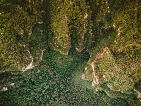
7 - Cherrybrook
34 km away
Cherrybrook is a suburb of Sydney, in the state of New South Wales, Australia 27 kilometres north-west of the Sydney central business district in the local government area of Hornsby Shire. Cherrybrook is located in the Hills District of Sydney.
Learn more
8 - Sydney Olympic Park
38 km away
Sydney Olympic Park is a suburb of Greater Western Sydney, located 13 kilometres west of the Sydney central business district, in the local government area of the City of Parramatta Council.
Learn more Book this experience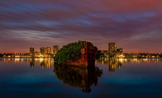
9 - Gladesville NSW
42 km away
Gladesville is a suburb in the Lower North Shore of Sydney, in the state of New South Wales, Australia. Gladesville is located 10 kilometres north-west of the Sydney central business district, in the local government area of the City of Ryde and the Municipality of Hunter's Hill.
Learn more
10 - Gladesville Bridge
44 km away
Gladesville Bridge is a heritage-listed concrete arch road bridge that carries Victoria Road over the Parramatta River, linking the Sydney suburbs of Huntleys Point and Drummoyne, in the local government areas of Canada Bay and Hunter's Hill, in New South Wales, Australia.
Learn more Book this experience
11 - Chatswood NSW
46 km away
Chatswood is a major business and residential district in the Lower North Shore of Sydney, in the state of New South Wales, Australia, 10 kilometres north of the Sydney central business district.
Learn more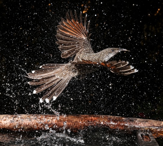
12 - Leichhardt NSW
46 km away
Leichhardt is a suburb in the Inner West of Sydney, in the state of New South Wales, Australia. Leichhardt is located 5 kilometres west of the Sydney central business district and is the administrative centre for the local government area of the Inner West Council.
Learn more
Disover the best Instagram Spots around Emu Plains here
Book Tours and Activities in Emu Plains
Discover the best tours and activities around Emu Plains, Australia and book your travel experience today with our booking partners
Plan your trip in Emu Plains with AI 🤖 🗺
Roadtrips.ai is a AI powered trip planner that you can use to generate a customized trip itinerary for any destination in Australia in just one clickJust write your activities preferences, budget and number of days travelling and our artificial intelligence will do the rest for you
👉 Use the AI Trip Planner
Where to Stay in Emu Plains
Discover the best hotels around Emu Plains, Australia and book your stay today with our booking partner booking.com
More Travel spots to explore around Emu Plains
Click on the pictures to learn more about the places and to get directions
Discover more travel spots to explore around Emu Plains
🌉 Bridge spotsTravel map of Emu Plains
Explore popular touristic places around Emu Plains
Download On Google Maps 🗺️📲